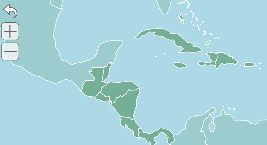
We strive to create the best interactive maps on the web while also making it simple to customize and install them. Below are some of the features our customers love.
The map width can expand and contract to fit the space available on a device.
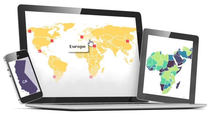
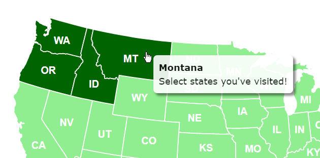
The map detects mobile devices and shows them clickable, mobile-optimized popups.
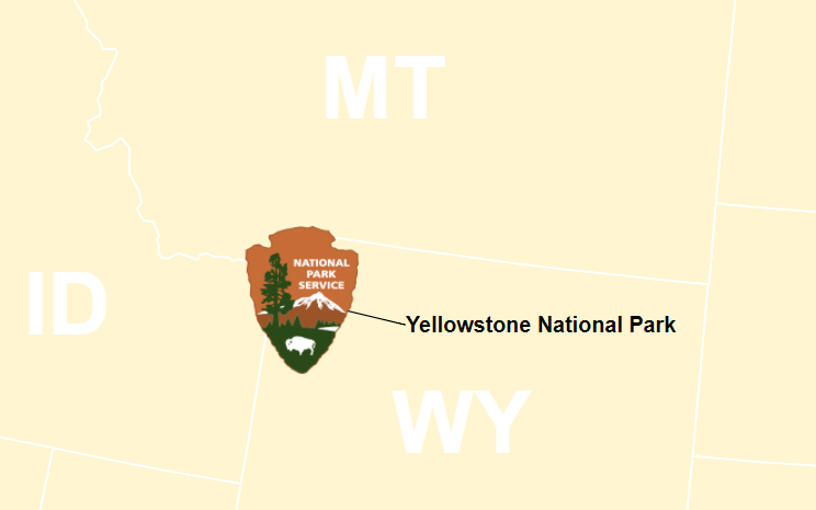
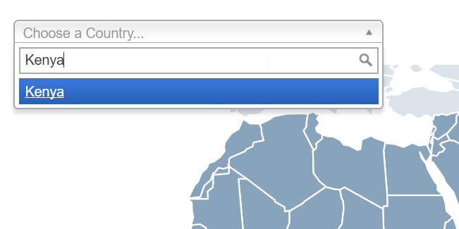
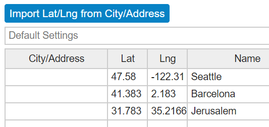
Add locations to the map using latitude and longitude.
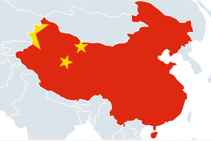
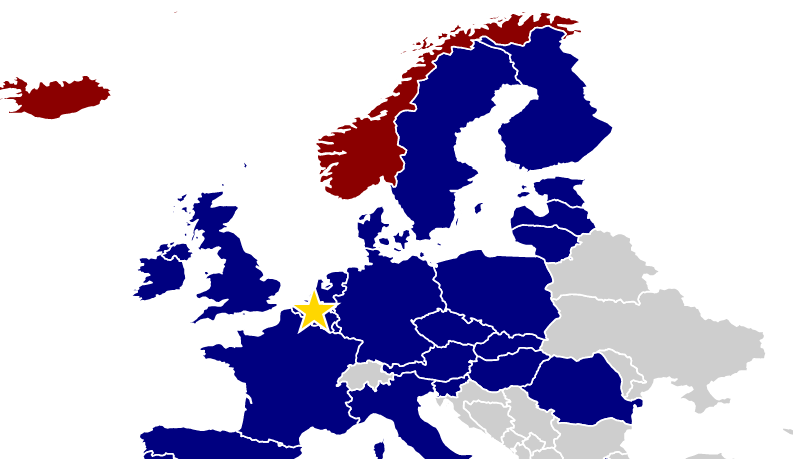
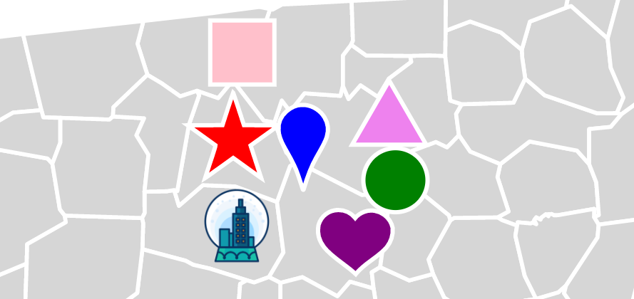
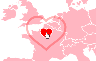
Locations can be squares, circles, stars, pinpoint markers, hearts, triangles, or custom images.
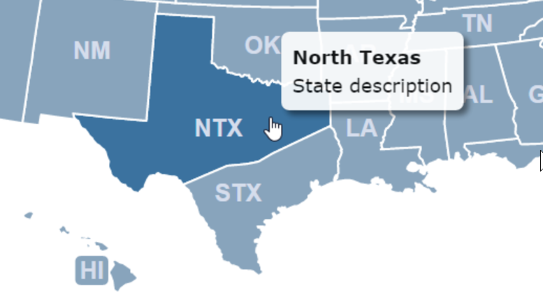
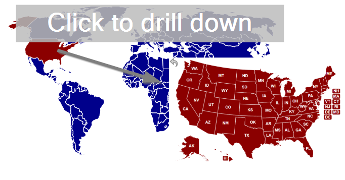
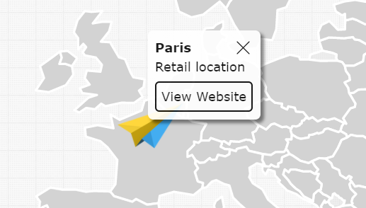
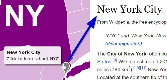
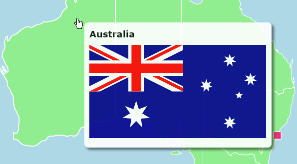
Click on a state/country or location to navigate to a different webpage.
Emphasize locations with a pulse upon hover.
Add pictures and other rich formatting to popups using HTML.
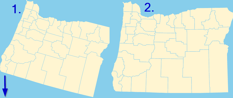
Rotate states to make them appear more level.
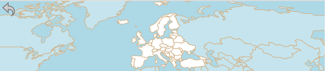
It's easy to customize the initial view of the map. This is particularly helpful when adding the map to wide website designs.
Home | License | Privacy | Releases | Testimonials | Resources | Documentation | Order Lookup | All Maps | FAQs
Formerly FlashUSAmap.com and FlashWorldMap.com
SimpleMaps.com is a product of Pareto Software, LLC. © 2010-2026.